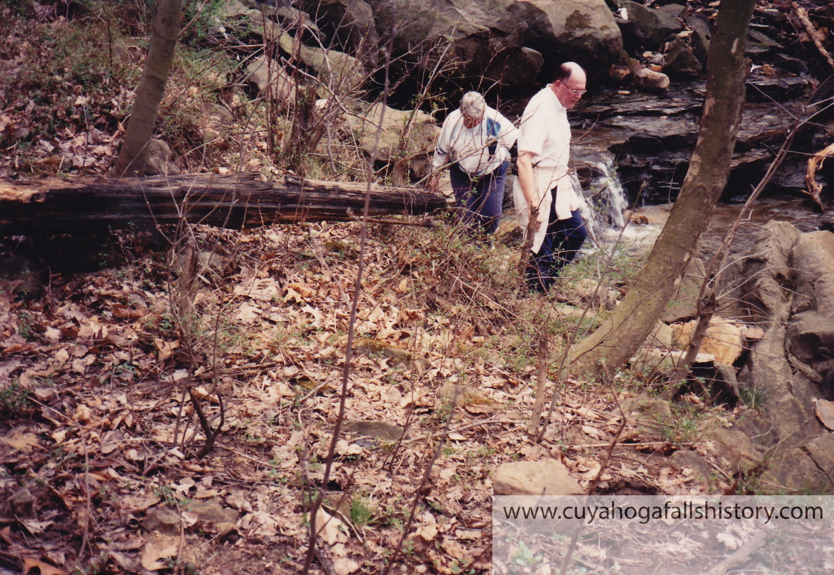
Take a hike with Lou Atleson, Liz Cross, and Bob Cunningham. They began at the Ohio Edison Plant and ended at where the Chuckery Dam once existed near Prospect Bridge (High Bridge Glens). All photos were taken by Liz Cross with the exception of the one taken of Liz, that one was taken by Lou.
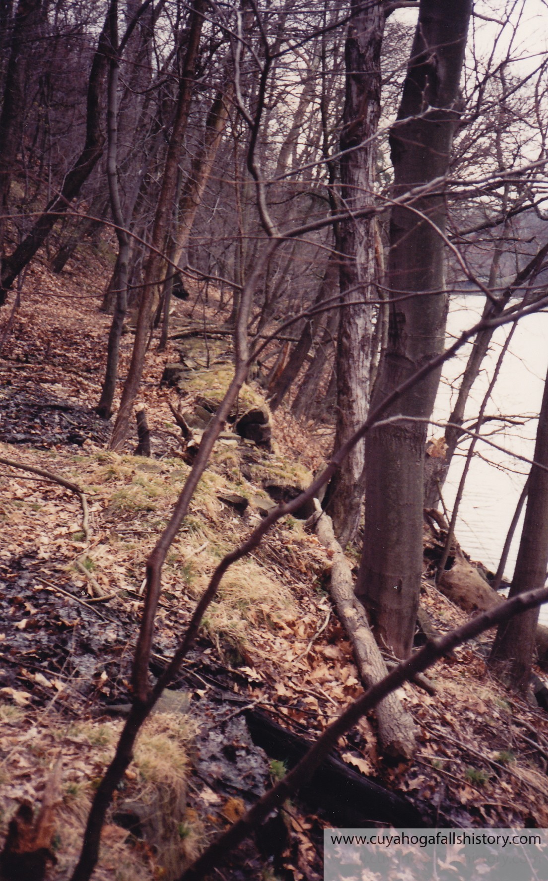
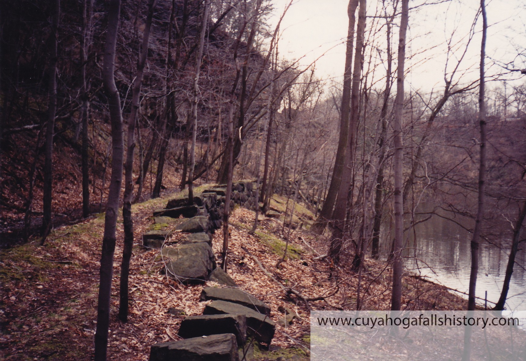
East side of the river along Chuckery wall.
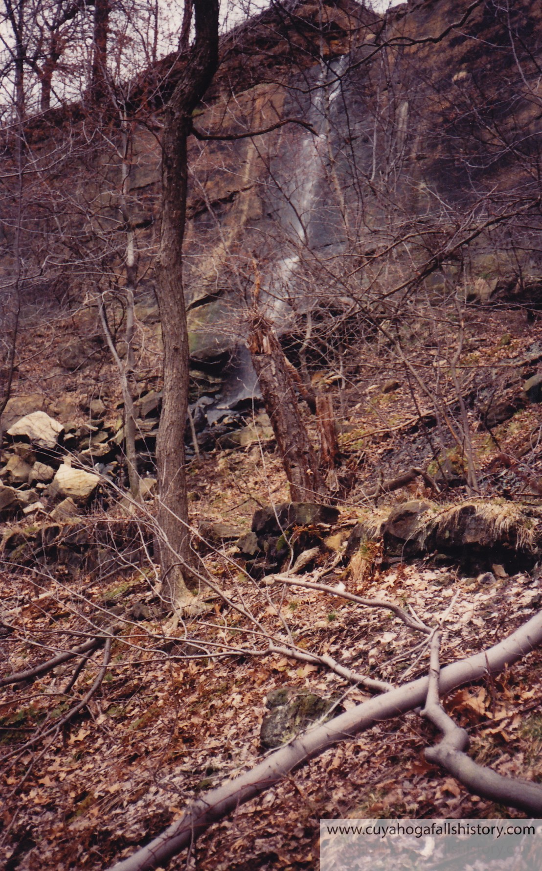
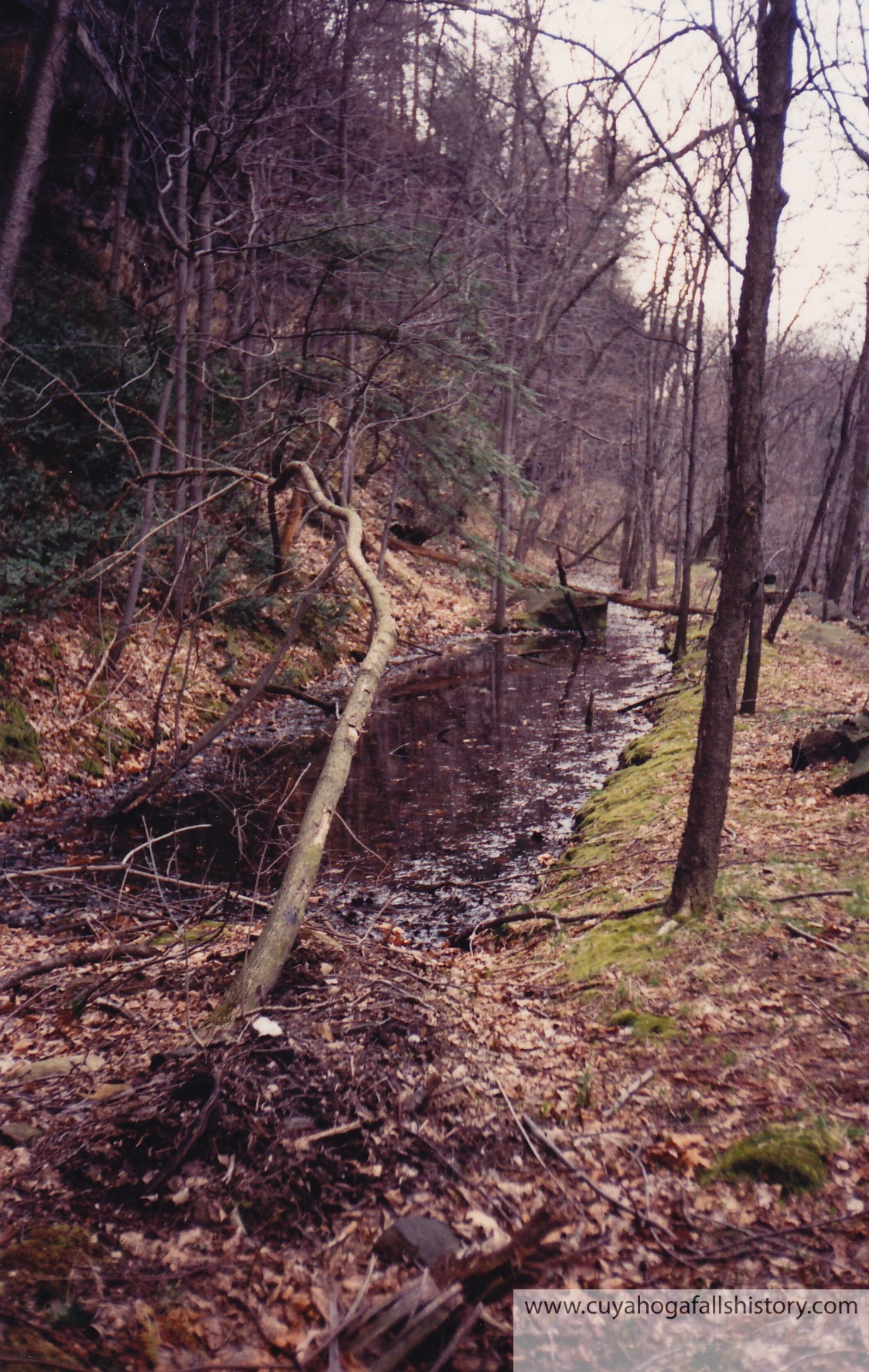
Water from overflow or spring. Stones are from Chuckery wall.
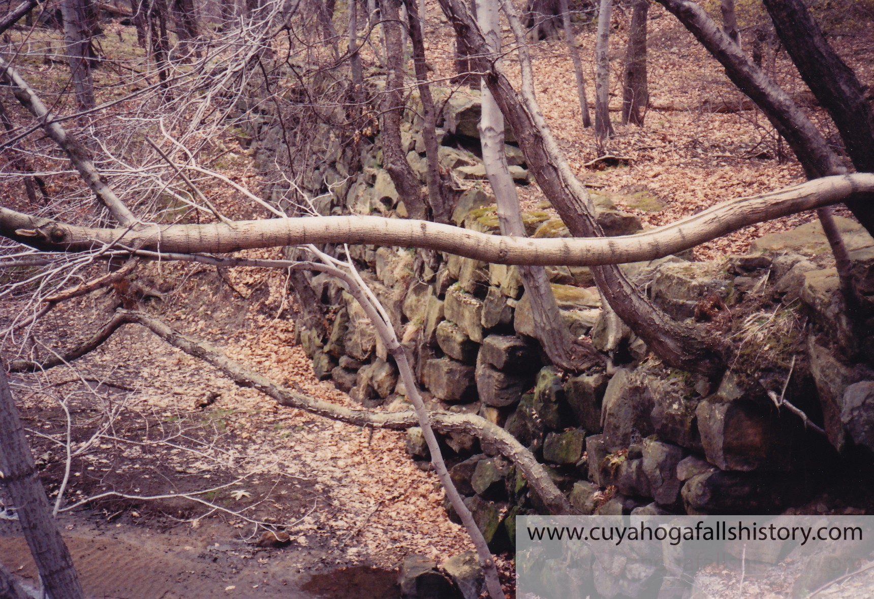
Chuckery Wall
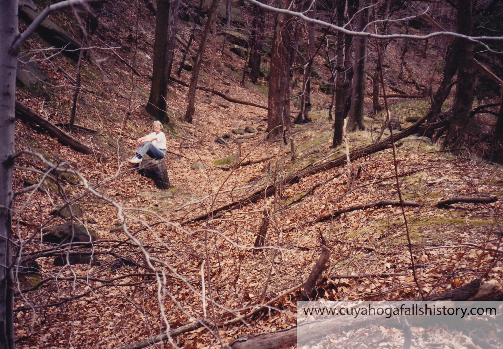
Lou Atleson & Bob Cunningham hiking the Chuckery Race
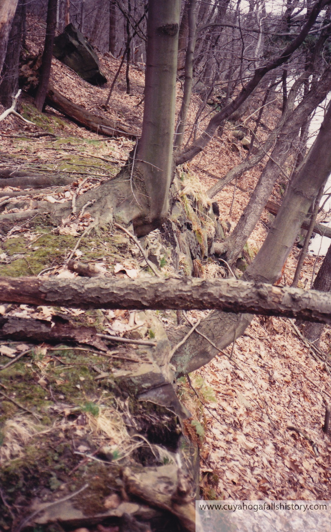
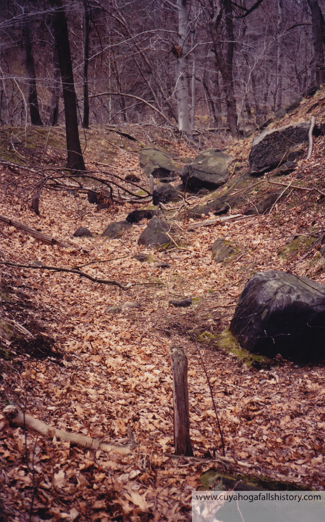
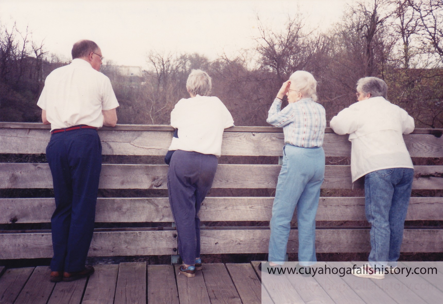
Chuckery Race, Wall was/is on the left and the bank is on the right.A good solid portion still exists of the Chuckery wall. The river is on the left. This wall was built around 175 years ago.The “Big Ditch” still holds some water nearly 175 years later! The river is on the right in this photo.More remains of the wall and race.Bob Cunningham, Lou Atleson, Gladys Popeland, Babette Robinson standing on Prospect Bridge off Front Street. (Today’s High Bridge Glens Park)Liz Cross
Hi Susan, it was a very short lived canal system that utilized the steepest part of the Glens/Gorge and ended in Akron with a proposed new town called Summit City. I’ll post more information in a week or so.
It is prob not a good idea to explore much of that side of the river as it is pretty dangerous. Our fearless leaders of that time only took on a section that they knew was safe enough for them to explore and document the Chuckery Race.

Great pictures!! I had no idea there was even access down there. If I may ask, what is/was the Chuckery??
Hi Susan, it was a very short lived canal system that utilized the steepest part of the Glens/Gorge and ended in Akron with a proposed new town called Summit City. I’ll post more information in a week or so.
It is prob not a good idea to explore much of that side of the river as it is pretty dangerous. Our fearless leaders of that time only took on a section that they knew was safe enough for them to explore and document the Chuckery Race.